How to Measure the Ecological Cost of Tourism Development
Tourism construction can change land cover, drainage, erosion risk, habitat, and water quality. Measuring those effects requires a baseline, a defined project boundary, and monitoring beyond the construction site.
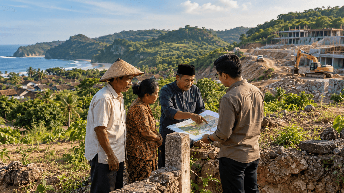
“Development” and “damage” need measurable definitions
Debates about tourism development often start with a conclusion: a project brings jobs, or a project damages the environment. Neither statement is adequate on its own. The relevant questions are what changes, how large those changes are, who is affected, whether the effects can be avoided or repaired, and how the result will be monitored over time.
For Gunungkidul, this is especially important where development intersects with karst, steep slopes, coastal systems, groundwater pathways, or sensitive habitats. The same project footprint can create different risks in different locations. A building on an already developed plot with functioning wastewater infrastructure is not environmentally equivalent to an equivalent-sized building that requires major land clearing, drainage changes, or excavation in a sensitive karst setting.
The way to improve the debate is to move from general claims to an assessment built around a baseline, impact pathways, cumulative pressures, and indicators that can be checked after construction.
Start with the official environmental context
Gunungkidul's Regional Regulation No. 1 of 2025 establishes the Regional Environmental Protection and Management Plan for 2025-2055. The official regulation record (opens in a new tab) describes a plan organized around environmental carrying capacity, environmental problems and targets, and directions for protection and management. Its existence is a formal planning commitment; it does not by itself demonstrate that every project is compliant or that all planned targets have been achieved.
The regency's road and tourism development also provides a specific case for examining land-cover risk. A study published in May 2026 mapped land-cover coefficients around the southern-coast highway corridor (Jalur Jalan Lintas Selatan, or JJLS) in Girijati Village, Purwosari. Using Landsat 8 imagery from January 2026 and the Normalized Difference Vegetation Index, the researchers found mostly moderate to sparse vegetation in central and southern parts of their study area, while the northern part had denser vegetation. They recommended mitigation measures such as revegetation, terracing, and drainage maintenance. See the study in GeoScienceEd Journal (opens in a new tab).
This finding must be read precisely. The study maps vegetation and an erosion-related land-cover coefficient; it is not a direct measurement of actual erosion rates, and it does not establish that every observed land-cover condition was caused by tourism. It is one corridor and one time period. Its value is that remote sensing can identify places requiring closer field assessment and mitigation.
Build a baseline before construction
A credible environmental assessment needs a picture of the area before work begins. Without that baseline, later measurements cannot reliably distinguish project-related change from seasonal variation, pre-existing degradation, weather, or activities elsewhere.
A project-specific baseline may include:
- Land cover: vegetation density, exposed soil, built surface, agricultural land, and the area of each type within a clearly defined boundary.
- Topography and drainage: slope, natural flow paths, runoff routes, drainage outlets, and places where concentrated flow could cause erosion or flooding.
- Karst and water: sinkholes, cave or underground-water connections where known, groundwater or spring quality, seasonal flows, and risks from wastewater or spills.
- Biodiversity: habitat type, sensitive species or ecological features identified by qualified specialists, and locations where the project could fragment or disturb habitat.
- Coastal processes: where relevant, shoreline characteristics, erosion and deposition patterns, tidal conditions, and the use of the coast by residents and fishing activity.
- People and services: household water access, waste collection, road traffic, emergency access, and existing community uses of the site.
Not every small project needs the same level of study. The baseline should be proportionate to scale, location, and potential consequences. Where a site is ecologically sensitive or impacts may be difficult to reverse, the required evidence should be more detailed and the uncertainty more carefully managed.
Trace the impact pathway
A useful environmental assessment follows the chain from an activity to an outcome. For example: vegetation clearing exposes soil; construction changes surface permeability and runoff; concentrated runoff carries sediment; sediment changes drainage or water quality downstream. Each link can be examined with the relevant evidence.
For a karst development, another pathway might be poor wastewater management followed by rapid infiltration through fractures or openings and potential contamination of groundwater. The risk depends on site geology, soil and rock properties, the wastewater system, operating practices, and monitoring results. The claim should not be that all karst construction will contaminate water. It should be that potential pathways must be identified and appropriately controlled where they exist.
Impact assessments should also distinguish three kinds of effect:
- Direct effects: land clearing, excavation, wastewater discharge, or habitat removal caused directly by the project.
- Indirect effects: new access that changes land prices or encourages additional building; increased traffic; or a rise in water demand beyond the site boundary.
- Cumulative effects: the combined pressure from several projects, roads, settlements, and visitor activity within the same catchment or coastal system.
A site-level permit review can miss cumulative effects if every project is considered in isolation. Spatial planning and shared environmental monitoring are needed to understand the wider pattern.
Use the right indicator for the claim
Different environmental concerns require different evidence. A satellite image is useful for tracking land cover but does not measure groundwater quality. A water-quality sample measures selected parameters at a place and time but cannot alone identify the source of contamination. A count of trees replanted does not prove that habitat function has been restored.
| Question | Useful evidence | What the indicator cannot prove by itself |
|---|---|---|
| Has vegetation cover changed? | Comparable satellite imagery and field checks | The precise cause of every change or the full condition of biodiversity |
| Has erosion increased? | Repeat surveys, erosion pins, sediment data, slope and drainage analysis | That the project is the only contributor without causal analysis |
| Is water quality changing? | Repeated sampling using appropriate parameters and quality control | A source attribution from one isolated sample |
| Is visitor pressure affecting a site? | Hourly counts, activity zones, ecological observations, waste and service logs | Long-term damage from a single busy day |
| Is habitat being fragmented? | Before-and-after mapping, field ecology, species or habitat monitoring | All ecological consequences from land-cover data alone |
The monitoring design should identify the responsible party, sampling frequency, reporting method, and response threshold before work begins. Where the available data are weak, the report should say so rather than substituting a confident narrative.
The permit is a starting point for compliance
Indonesia's Government Regulation No. 22 of 2021 addresses environmental approval, water, air and marine quality, environmental damage, waste management, monitoring, supervision, and administrative sanctions. The official legal record at JDIH-BPK (opens in a new tab) confirms the regulation's scope and status. The environmental approval process and any obligations that apply to a particular activity depend on the project and the rules in force; this article does not determine the permit classification of an individual proposal.
For project accountability, the public should be able to understand the relevant approval, the commitments made, the monitoring reports required, and what corrective action follows if commitments are breached. A document obtained before construction is not evidence that the commitments are being implemented during operation.
Separate reversible changes from irreplaceable loss
Some impacts can be reduced or repaired: for example, poorly maintained drainage may be corrected or exposed soil revegetated if the site and conditions allow. Other changes are harder to reverse. Excavation of a distinctive geological formation, destruction of a cave habitat, or contamination of an underground-water route may involve losses that cannot be fully compensated through landscaping or a general cleanup program.
This does not mean restoration should be promised lightly. The feasibility of rehabilitation depends on the ecosystem, scale, and time required. The safest approach is to avoid or minimize damage first, design controls around the residual impact, and only then identify what restoration is realistic. Monetary compensation is not always a substitute for a lost ecological function or unique landform.
A public scorecard for project performance
A useful scorecard should compare a documented baseline with repeat measurements, state the boundaries and methods, and publish the results in plain language. It can include hectares cleared and restored, changes in vegetation cover, erosion observations, water-quality trends, wastewater compliance, waste generated and recovered, complaints resolved, and evidence of community access or livelihood effects where relevant.
Metrics should be chosen before the project begins, not selected after the results are known. An independent technical review may be appropriate for high-risk projects, and monitoring data should be accessible to affected communities as well as regulators. If a metric worsens, the report should explain the response and whether it worked.
The bottom line
The ecological cost of tourism development cannot be judged by a photograph, a permit document, or a claim about jobs alone. Gunungkidul needs site-specific baselines, clear impact pathways, cumulative assessment, meaningful monitoring, and public reporting. The 2026 land-cover study around JJLS shows how spatial analysis can identify areas for further attention, while also illustrating why the limits of a method must be respected. Better evidence helps distinguish manageable impacts from unacceptable losses, and gives both development proponents and environmental critics a common basis for testing their arguments.
Sources consulted
- Government of Gunungkidul. Regional Regulation No. 1 of 2025 on the Regional Environmental Protection and Management Plan for 2025-2055. Enacted 15 July 2025; checked 25 October 2026. https://peraturan.bpk.go.id/Details/330388 (opens in a new tab)
- Naningsih, D. N., & Rosadi, P. E. “Pemetaan Faktor Tutupan Lahan (C) Berbasis Transformasi NDVI pada Wilayah Potensi Karst Kawasan Pembangunan JJLS di Kabupaten Gunungkidul” [Mapping the Land-Cover Factor Using NDVI Transformation in a Potential Karst Area Along JJLS Development in Gunungkidul]. GeoScienceEd Journal, published 1 May 2026; checked 25 October 2026. https://jpfis.unram.ac.id/index.php/GeoScienceEdu/article/view/1821 (opens in a new tab)
- Government of Indonesia. Government Regulation No. 22 of 2021 on Environmental Protection and Management. Enacted 2 February 2021; checked 25 October 2026. https://peraturan.bpk.go.id/Details/161852/pp-no-22-tahun-2021 (opens in a new tab)
Keep reading
This article is part 4 of 12 in the series "Conservation, Environment and the Tourism Trade-off".
- Previous: How Many Visitors Can a Gunungkidul Beach Handle?
- Start of the series: Gunung Sewu Karst: The Ecological Foundation of Tourism
Related articles: